Seamer Street viewed from Salisbury Street
Introduction
The photograph on this page of Seamer Street viewed from Salisbury Street by Christopher Hall as part of the Geograph project.
The Geograph project started in 2005 with the aim of publishing, organising and preserving representative images for every square kilometre of Great Britain, Ireland and the Isle of Man.

There are currently over 7.5m images from over 14,400 individuals and you can help contribute to the project by visiting https://www.geograph.org.uk
Seamer Street viewed from Salisbury Street
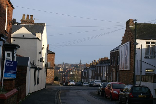
Image: © Christopher Hall Taken: 20 Jan 2014
Beyond Seamer Road which crosses the photograph is Seamer Street which consists of mid 19th century working class housing. The land then drops away to the railway line and a valley before rising again beyond where buildings in Westbourne Grove can be seen
Images are licensed for reuse under creativecommons.org/licenses/by-sa/2.0
Image Location
Latitude
54.272002
Longitude
-0.414911