The edge of Malvern Common in Poolbrook
Introduction
The photograph on this page of The edge of Malvern Common in Poolbrook by David Smith as part of the Geograph project.
The Geograph project started in 2005 with the aim of publishing, organising and preserving representative images for every square kilometre of Great Britain, Ireland and the Isle of Man.

There are currently over 7.5m images from over 14,400 individuals and you can help contribute to the project by visiting https://www.geograph.org.uk
The edge of Malvern Common in Poolbrook
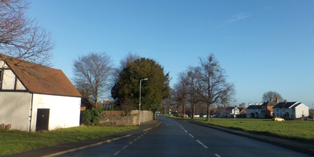
Image: © David Smith Taken: 13 Jan 2014
The common land extends beside Poolbrook Road in a narrow strip. The area is Poolbrook, which merges into Barnard's Green
Images are licensed for reuse under creativecommons.org/licenses/by-sa/2.0
Image Location


Leaflet Map data © OpenStreetMap
Latitude
52.099242
Longitude
-2.309149