Houses at the junction of Abbey Close and Highgrove Park, Teignmouth
Introduction
The photograph on this page of Houses at the junction of Abbey Close and Highgrove Park, Teignmouth by Robin Stott as part of the Geograph project.
The Geograph project started in 2005 with the aim of publishing, organising and preserving representative images for every square kilometre of Great Britain, Ireland and the Isle of Man.

There are currently over 7.5m images from over 14,400 individuals and you can help contribute to the project by visiting https://www.geograph.org.uk
Houses at the junction of Abbey Close and Highgrove Park, Teignmouth
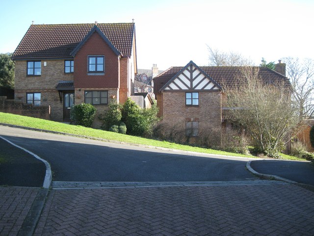
Image: © Robin Stott Taken: 10 Dec 2012
Highgrove Park is the spine road of a residential development on a steep hillside. The relative positions of these two houses show how steep. Between them is a glimpse of St Scholastica's, a former Benedictine nunnery converted to apartments.
Images are licensed for reuse under creativecommons.org/licenses/by-sa/2.0
Image Location
Latitude
50.556646
Longitude
-3.491405