Cawkwell Hill in the cold February of 2009
Introduction
The photograph on this page of Cawkwell Hill in the cold February of 2009 by Chris as part of the Geograph project.
The Geograph project started in 2005 with the aim of publishing, organising and preserving representative images for every square kilometre of Great Britain, Ireland and the Isle of Man.

There are currently over 7.5m images from over 14,400 individuals and you can help contribute to the project by visiting https://www.geograph.org.uk
Cawkwell Hill in the cold February of 2009
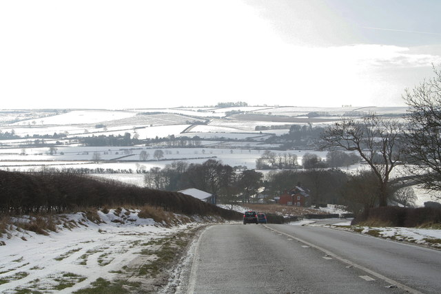
Image: © Chris Taken: 13 Feb 2009
Not surprisingly, when the snow gets heavy, this is the first main road into Louth to be blocked.
Images are licensed for reuse under creativecommons.org/licenses/by-sa/2.0
Image Location
Latitude
53.303108
Longitude
-0.074928