Northeastern end of Benedict Close, Teignmouth
Introduction
The photograph on this page of Northeastern end of Benedict Close, Teignmouth by Robin Stott as part of the Geograph project.
The Geograph project started in 2005 with the aim of publishing, organising and preserving representative images for every square kilometre of Great Britain, Ireland and the Isle of Man.

There are currently over 7.5m images from over 14,400 individuals and you can help contribute to the project by visiting https://www.geograph.org.uk
Northeastern end of Benedict Close, Teignmouth
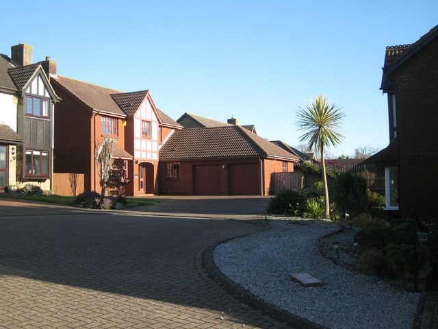
Image: © Robin Stott Taken: 10 Dec 2012
Benedict Close has a couple of legs off Highgrove Park, the spine road of a residential development on a steep hillside. Here a spiky lonesome palm* contrasts with the hard surfaces and bulky houses. *A handsome variegated form of Cabbage Palm, Cordyline australis: not a true palm but a member of the lily family.
Images are licensed for reuse under creativecommons.org/licenses/by-sa/2.0
Image Location


Leaflet Map data © OpenStreetMap
Latitude
50.55809
Longitude
-3.491027