Sticklepath Cross
Introduction
The photograph on this page of Sticklepath Cross by Anthony Vosper as part of the Geograph project.
The Geograph project started in 2005 with the aim of publishing, organising and preserving representative images for every square kilometre of Great Britain, Ireland and the Isle of Man.

There are currently over 7.5m images from over 14,400 individuals and you can help contribute to the project by visiting https://www.geograph.org.uk
Sticklepath Cross
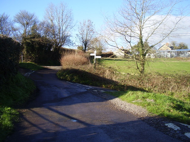
Image: © Anthony Vosper Taken: 20 Jan 2014
According to local farmer. The junctions and islands where originally staggered so as to prevent farm wagons churning up the centre of the junction. The word Stickle means steep.
Images are licensed for reuse under creativecommons.org/licenses/by-sa/2.0
Image Location
Latitude
50.907728
Longitude
-2.994544