Monkstown Road
Introduction
The photograph on this page of Monkstown Road by Robert Ashby as part of the Geograph project.
The Geograph project started in 2005 with the aim of publishing, organising and preserving representative images for every square kilometre of Great Britain, Ireland and the Isle of Man.

There are currently over 7.5m images from over 14,400 individuals and you can help contribute to the project by visiting https://www.geograph.org.uk
Monkstown Road
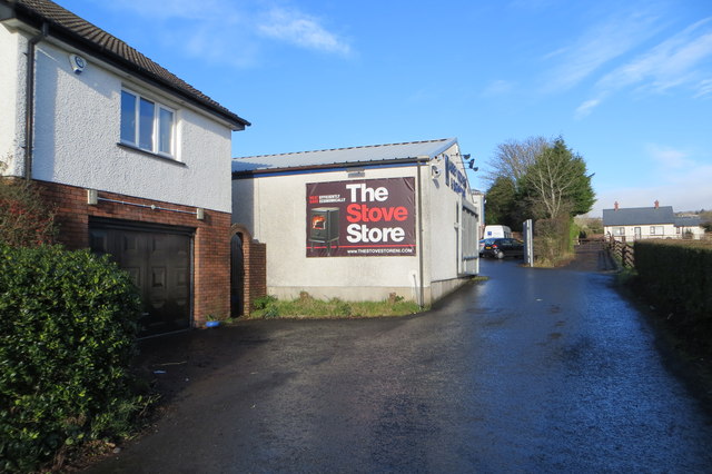
Image: © Robert Ashby Taken: 20 Jan 2014
An unnamed extension of the Monkstown Road. Located on the north side of the B90, also known as the Old Carrick Rd or Upper Road. This short part of the Monkstown Road is a cul-de-sac containing a mix of small businesses and houses.
Images are licensed for reuse under creativecommons.org/licenses/by-sa/2.0
Image Location
Latitude
54.697294
Longitude
-5.917848