Cycle path, Westland Drive
Introduction
The photograph on this page of Cycle path, Westland Drive by Richard Webb as part of the Geograph project.
The Geograph project started in 2005 with the aim of publishing, organising and preserving representative images for every square kilometre of Great Britain, Ireland and the Isle of Man.

There are currently over 7.5m images from over 14,400 individuals and you can help contribute to the project by visiting https://www.geograph.org.uk
Cycle path, Westland Drive
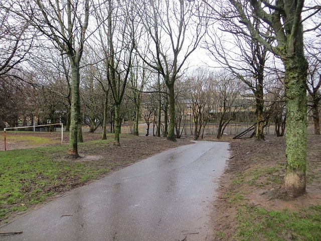
Image: © Richard Webb Taken: 19 Jan 2014
The path links educational sites in western Glasgow. From here a path runs along the trackbed of the Whiteinch Railway as well as towards Jordanhill.
Images are licensed for reuse under creativecommons.org/licenses/by-sa/2.0
Image Location
Latitude
55.882189
Longitude
-4.333202