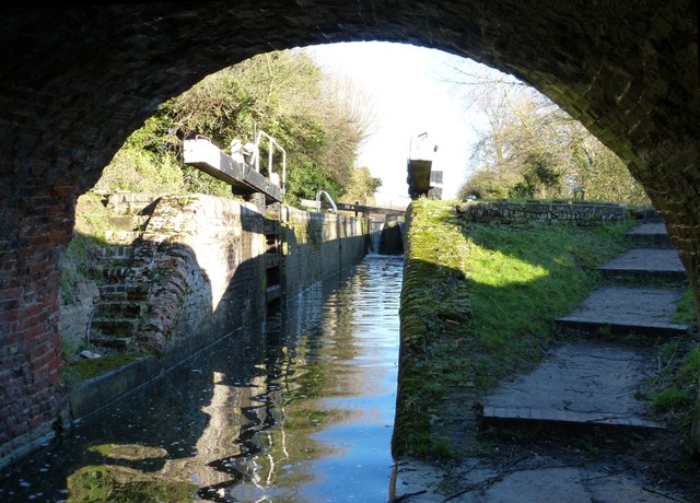
Jefferies Lock from under Wilstone Bridge
Introduction
The photograph on this page of Jefferies Lock from under Wilstone Bridge by Rob Farrow as part of the Geograph project.
The Geograph project started in 2005 with the aim of publishing, organising and preserving representative images for every square kilometre of Great Britain, Ireland and the Isle of Man.
There are currently over 7.5m images from over 14,400 individuals and you can help contribute to the project by visiting https://www.geograph.org.uk

Image: © Rob Farrow Taken: 19 Jan 2014
Taken from the towpath underneath Wilstone Bridge (No.3 on the Aylesbury Arm of the Grand Union Canal) looking eastwards into the open bottom gate of Jefferies Lock (No.8). The water level was very high after weeks of heavy rain which had caused flooding in some parts of the country (Jan 2014).

