Derelict hangar and Hangar 45, Yatesbury
Introduction
The photograph on this page of Derelict hangar and Hangar 45, Yatesbury by Brian Robert Marshall as part of the Geograph project.
The Geograph project started in 2005 with the aim of publishing, organising and preserving representative images for every square kilometre of Great Britain, Ireland and the Isle of Man.

There are currently over 7.5m images from over 14,400 individuals and you can help contribute to the project by visiting https://www.geograph.org.uk
Derelict hangar and Hangar 45, Yatesbury
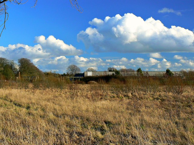
Image: © Brian Robert Marshall Taken: 19 Jan 2014
At left are the remains of a listed Great War era hangar http://www.geograph.org.uk/photo/3818997 while to the right is the west elevation of Hangar 45, recently restored as live/work units http://www.geograph.org.uk/photo/3818690
Images are licensed for reuse under creativecommons.org/licenses/by-sa/2.0
Image Location
Latitude
51.441296
Longitude
-1.919524