Vigorous Angiddy flows past Lower Wireworks car park, Tintern
Introduction
The photograph on this page of Vigorous Angiddy flows past Lower Wireworks car park, Tintern by Jaggery as part of the Geograph project.
The Geograph project started in 2005 with the aim of publishing, organising and preserving representative images for every square kilometre of Great Britain, Ireland and the Isle of Man.

There are currently over 7.5m images from over 14,400 individuals and you can help contribute to the project by visiting https://www.geograph.org.uk
Vigorous Angiddy flows past Lower Wireworks car park, Tintern
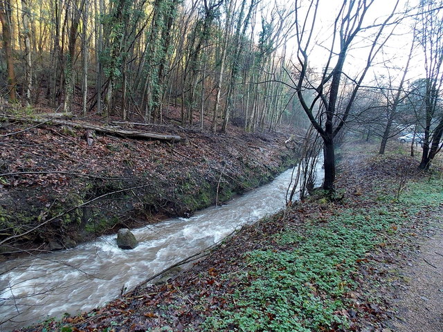
Image: © Jaggery Taken: 19 Jan 2014
Swollen by recent heavy rain, the Angiddy (or Angidy or Anghidi) flows along the edge of this http://www.geograph.org.uk/photo/3819134 car park. Some sources state that the Angiddy is a river, others that it is a stream.
Images are licensed for reuse under creativecommons.org/licenses/by-sa/2.0
Image Location
Latitude
51.69791
Longitude
-2.686072