Lane past the western edge of the Old School House, Tintern
Introduction
The photograph on this page of Lane past the western edge of the Old School House, Tintern by Jaggery as part of the Geograph project.
The Geograph project started in 2005 with the aim of publishing, organising and preserving representative images for every square kilometre of Great Britain, Ireland and the Isle of Man.

There are currently over 7.5m images from over 14,400 individuals and you can help contribute to the project by visiting https://www.geograph.org.uk
Lane past the western edge of the Old School House, Tintern
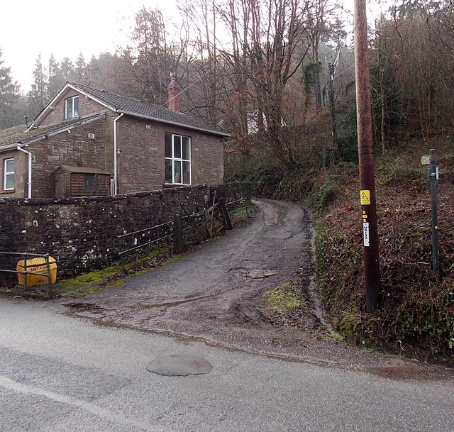
Image: © Jaggery Taken: 19 Jan 2014
A public footpath sign on the right points along the lane which ascends from Forge Road past the Old School House. http://www.geograph.org.uk/photo/3819052.
Images are licensed for reuse under creativecommons.org/licenses/by-sa/2.0
Image Location
Latitude
51.697652
Longitude
-2.684042