Newlay Bridle Path
Introduction
The photograph on this page of Newlay Bridle Path by Rich Tea as part of the Geograph project.
The Geograph project started in 2005 with the aim of publishing, organising and preserving representative images for every square kilometre of Great Britain, Ireland and the Isle of Man.

There are currently over 7.5m images from over 14,400 individuals and you can help contribute to the project by visiting https://www.geograph.org.uk
Newlay Bridle Path
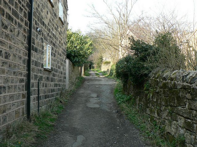
Image: © Rich Tea Taken: 25 Mar 2007
Looking at its lower end, from Rein Road. See also Image]
Images are licensed for reuse under creativecommons.org/licenses/by-sa/2.0
Image Location


Leaflet Map data © OpenStreetMap
Latitude
53.828628
Longitude
-1.637765