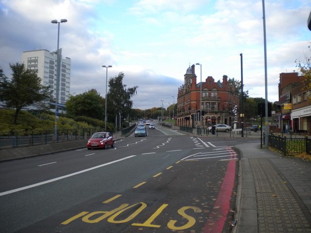
Southbound carriageway of High Street, Newtown
Introduction
The photograph on this page of Southbound carriageway of High Street, Newtown by Richard Vince as part of the Geograph project.
The Geograph project started in 2005 with the aim of publishing, organising and preserving representative images for every square kilometre of Great Britain, Ireland and the Isle of Man.
There are currently over 7.5m images from over 14,400 individuals and you can help contribute to the project by visiting https://www.geograph.org.uk

Image: © Richard Vince Taken: 26 Oct 2013
High Street, Newtown, is part of the A34, and as such is now a dual carriageway with three lanes in each direction (the northbound carriageway is at a slightly higher level, hidden by the foliage in the central reservation on the right). The rather impressive building just to the right of centre is the Bartons Arms, a large pub that was once a place to go for live jazz, but in more recent times has been associated with the goth scene (I seem to recall hearing of it hosting a trad goth night in its large upstairs function room around 2005).

