River Ver
Introduction
The photograph on this page of River Ver by Bikeboy as part of the Geograph project.
The Geograph project started in 2005 with the aim of publishing, organising and preserving representative images for every square kilometre of Great Britain, Ireland and the Isle of Man.

There are currently over 7.5m images from over 14,400 individuals and you can help contribute to the project by visiting https://www.geograph.org.uk
River Ver
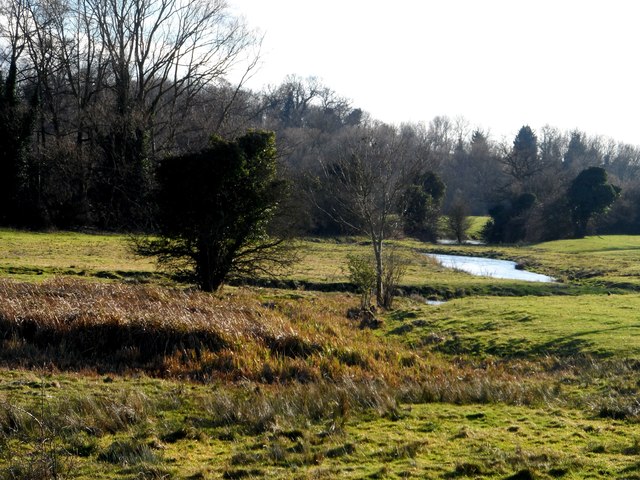
Image: © Bikeboy Taken: 19 Jan 2014
Water levels similar to those in http://www.geograph.org.uk/photo/3431470 in April 2013 which were considered to be high.
Images are licensed for reuse under creativecommons.org/licenses/by-sa/2.0
Image Location
Latitude
51.734718
Longitude
-0.330133