St Martin's Church
Introduction
The photograph on this page of St Martin's Church by Thomas Nugent as part of the Geograph project.
The Geograph project started in 2005 with the aim of publishing, organising and preserving representative images for every square kilometre of Great Britain, Ireland and the Isle of Man.

There are currently over 7.5m images from over 14,400 individuals and you can help contribute to the project by visiting https://www.geograph.org.uk
St Martin's Church
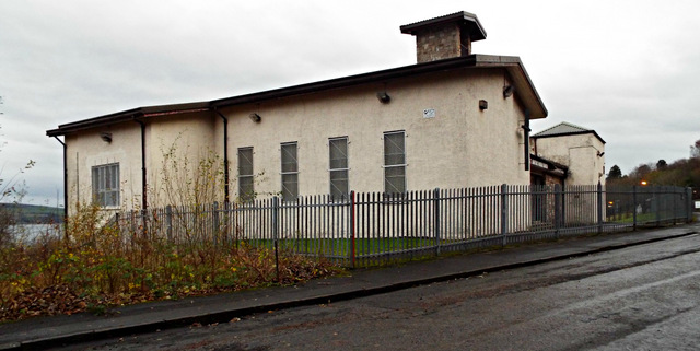
Image: © Thomas Nugent Taken: 2 Dec 2013
On Mansion Avenue, where all of the houses have been demolished and only the nearby Tree Tops Nursery building survivies.
Images are licensed for reuse under creativecommons.org/licenses/by-sa/2.0
Image Location


Leaflet Map data © OpenStreetMap
Latitude
55.92894
Longitude
-4.652044