Former crossings
Introduction
The photograph on this page of Former crossings by Alan Bowring as part of the Geograph project.
The Geograph project started in 2005 with the aim of publishing, organising and preserving representative images for every square kilometre of Great Britain, Ireland and the Isle of Man.

There are currently over 7.5m images from over 14,400 individuals and you can help contribute to the project by visiting https://www.geograph.org.uk
Former crossings
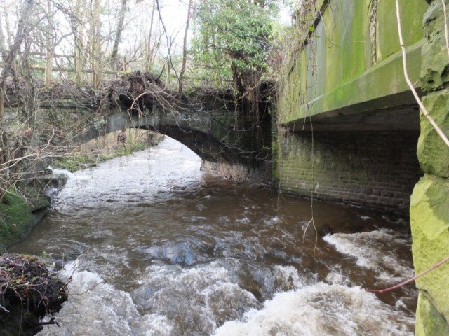
Image: © Alan Bowring Taken: 19 Jan 2014
View up the Afon Clydach beneath old and older bridges; the modern crossing of the river by the A465 is to the right of this shot.
Images are licensed for reuse under creativecommons.org/licenses/by-sa/2.0
Image Location
Latitude
51.817002
Longitude
-3.114254