The end of the wires, Earlestown railway station
Introduction
The photograph on this page of The end of the wires, Earlestown railway station by El Pollock as part of the Geograph project.
The Geograph project started in 2005 with the aim of publishing, organising and preserving representative images for every square kilometre of Great Britain, Ireland and the Isle of Man.

There are currently over 7.5m images from over 14,400 individuals and you can help contribute to the project by visiting https://www.geograph.org.uk
The end of the wires, Earlestown railway station
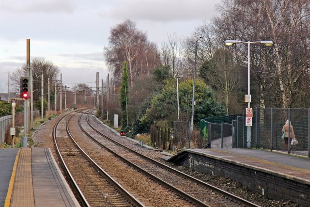
Image: © El Pollock Taken: 15 Jan 2014
The catenary hasn't yet been built for electric trains running into the station, in the direction of Liverpool. Rather, it is currently (excuse the pun) used for diversions, through Newton-Le-Willows, from the West Coast Main Line.
Images are licensed for reuse under creativecommons.org/licenses/by-sa/2.0
Image Location
Latitude
53.451411
Longitude
-2.636463