Pen y Waun
Introduction
The photograph on this page of Pen y Waun by Alan Richards as part of the Geograph project.
The Geograph project started in 2005 with the aim of publishing, organising and preserving representative images for every square kilometre of Great Britain, Ireland and the Isle of Man.

There are currently over 7.5m images from over 14,400 individuals and you can help contribute to the project by visiting https://www.geograph.org.uk
Pen y Waun
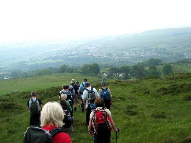
Image: © Alan Richards Taken: 1 Jun 2008
Cerddwyr yn dod i lawr o Fanc Cwmhelen ac yn agosau at anhedd-dy yn y pellter o'r enw Penywaun. Walkers descending from Banc Cwmhelen and approaching a property in the distance known at Pen y Waun (trans. Top of the fen).
Images are licensed for reuse under creativecommons.org/licenses/by-sa/2.0
Image Location
Latitude
51.786622
Longitude
-3.899032