Tai newydd / new houses
Introduction
The photograph on this page of Tai newydd / new houses by Alan Richards as part of the Geograph project.
The Geograph project started in 2005 with the aim of publishing, organising and preserving representative images for every square kilometre of Great Britain, Ireland and the Isle of Man.

There are currently over 7.5m images from over 14,400 individuals and you can help contribute to the project by visiting https://www.geograph.org.uk
Tai newydd / new houses
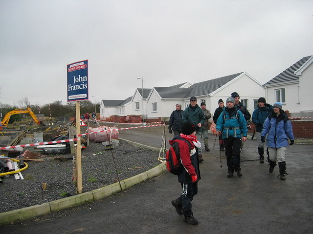
Image: © Alan Richards Taken: 30 Jan 2005
Mae cae gyda llwybr cyhoeddus wedi cael ei ddisodli gan dai ac hewl. A field with a public footpath has been replaced by new houses and a road.
Images are licensed for reuse under creativecommons.org/licenses/by-sa/2.0
Image Location
Latitude
51.798025
Longitude
-3.900091