Burton Dassett holy well
Introduction
The photograph on this page of Burton Dassett holy well by Tiger as part of the Geograph project.
The Geograph project started in 2005 with the aim of publishing, organising and preserving representative images for every square kilometre of Great Britain, Ireland and the Isle of Man.

There are currently over 7.5m images from over 14,400 individuals and you can help contribute to the project by visiting https://www.geograph.org.uk
Burton Dassett holy well
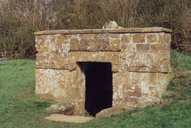
Image: © Tiger Taken: Unknown
A covered wellhouse built in the local Hornton ironstone in 1840, just north of the churchyard. Pevsner described the style as "late Grecian".
Images are licensed for reuse under creativecommons.org/licenses/by-sa/2.0
Image Location


Leaflet Map data © OpenStreetMap
Latitude
52.161245
Longitude
-1.419591