Mansion Avenue
Introduction
The photograph on this page of Mansion Avenue by Thomas Nugent as part of the Geograph project.
The Geograph project started in 2005 with the aim of publishing, organising and preserving representative images for every square kilometre of Great Britain, Ireland and the Isle of Man.

There are currently over 7.5m images from over 14,400 individuals and you can help contribute to the project by visiting https://www.geograph.org.uk
Mansion Avenue
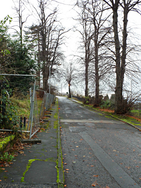
Image: © Thomas Nugent Taken: 2 Dec 2013
St lower part of the avenue at Woodhall Square. Late 19th C maps show this as the road to the former Woodhall mansion which was located where St Martin's church now stands Image
Images are licensed for reuse under creativecommons.org/licenses/by-sa/2.0
Image Location
Latitude
55.929838
Longitude
-4.652105