Brauncewell A15
Introduction
The photograph on this page of Brauncewell A15 by Richard Croft as part of the Geograph project.
The Geograph project started in 2005 with the aim of publishing, organising and preserving representative images for every square kilometre of Great Britain, Ireland and the Isle of Man.

There are currently over 7.5m images from over 14,400 individuals and you can help contribute to the project by visiting https://www.geograph.org.uk
Brauncewell A15
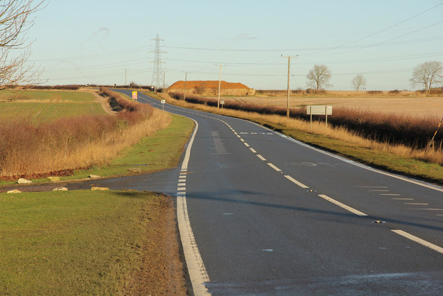
Image: © Richard Croft Taken: 16 Jan 2014
The A15 at Brauncewell .... driving it is bad enough, cycling is downright scary !
Images are licensed for reuse under creativecommons.org/licenses/by-sa/2.0
Image Location
Latitude
53.059707
Longitude
-0.45484