Lenton Lane closed
Introduction
The photograph on this page of Lenton Lane closed by Alan Murray-Rust as part of the Geograph project.
The Geograph project started in 2005 with the aim of publishing, organising and preserving representative images for every square kilometre of Great Britain, Ireland and the Isle of Man.

There are currently over 7.5m images from over 14,400 individuals and you can help contribute to the project by visiting https://www.geograph.org.uk
Lenton Lane closed
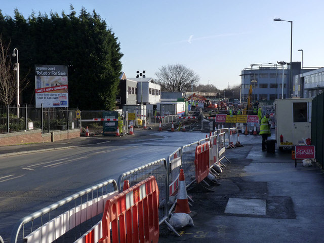
Image: © Alan Murray-Rust Taken: 13 Jan 2014
Services work for the tramway has now moved closer to the canal bridge. The far end of the industrial estate is now only accessible from the southern end http://www.geograph.org.uk/photo/3816899 .
Images are licensed for reuse under creativecommons.org/licenses/by-sa/2.0
Image Location
Latitude
52.942913
Longitude
-1.174664