Broadgate Park, Beeston
Introduction
The photograph on this page of Broadgate Park, Beeston by Alan Murray-Rust as part of the Geograph project.
The Geograph project started in 2005 with the aim of publishing, organising and preserving representative images for every square kilometre of Great Britain, Ireland and the Isle of Man.

There are currently over 7.5m images from over 14,400 individuals and you can help contribute to the project by visiting https://www.geograph.org.uk
Broadgate Park, Beeston
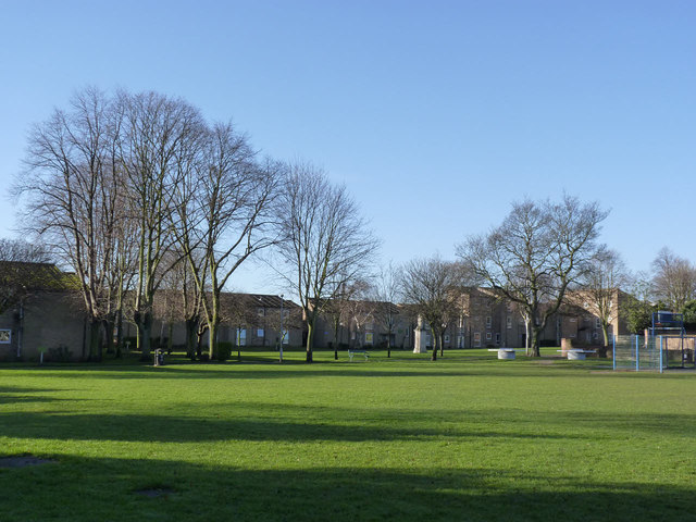
Image: © Alan Murray-Rust Taken: 13 Jan 2014
The main area of open space close to the town centre. The park has recently been designated as a Queen Elizabeth II Field http://www.fieldsintrust.org/QEII.aspx
Images are licensed for reuse under creativecommons.org/licenses/by-sa/2.0
Image Location
Latitude
52.928765
Longitude
-1.209297