Swilgate floods, Tewkesbury
Introduction
The photograph on this page of Swilgate floods, Tewkesbury by Jonathan Billinger as part of the Geograph project.
The Geograph project started in 2005 with the aim of publishing, organising and preserving representative images for every square kilometre of Great Britain, Ireland and the Isle of Man.

There are currently over 7.5m images from over 14,400 individuals and you can help contribute to the project by visiting https://www.geograph.org.uk
Swilgate floods, Tewkesbury
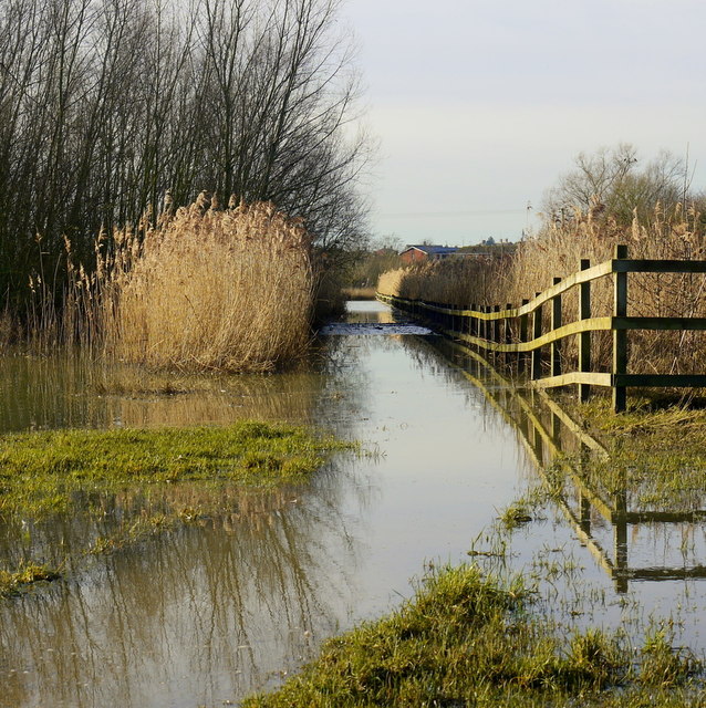
Image: © Jonathan Billinger Taken: 14 Jan 2014
Waders would be needed for getting along this path after flooding around New Year 2014.
Images are licensed for reuse under creativecommons.org/licenses/by-sa/2.0
Image Location
Latitude
51.985824
Longitude
-2.147025