Alexandra ward, seen from the Gresty Road ground
Introduction
The photograph on this page of Alexandra ward, seen from the Gresty Road ground by Crewe blog as part of the Geograph project.
The Geograph project started in 2005 with the aim of publishing, organising and preserving representative images for every square kilometre of Great Britain, Ireland and the Isle of Man.

There are currently over 7.5m images from over 14,400 individuals and you can help contribute to the project by visiting https://www.geograph.org.uk
Alexandra ward, seen from the Gresty Road ground
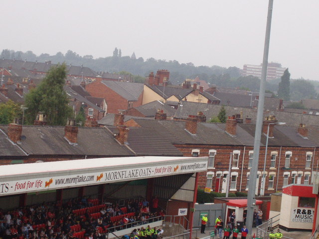
Image: © Crewe blog Taken: 16 Sep 2006
Alexandra ward of Crewe, seen from the main stand of Crewe Alexandra's Gresty Road ground. Nantwich Road in the immediate background, with Delamere House (town centre) in the far background... at least until the centre gets redeveloped!
Images are licensed for reuse under creativecommons.org/licenses/by-sa/2.0
Image Location
Latitude
53.086894
Longitude
-2.4419