Grange Crescent
Introduction
The photograph on this page of Grange Crescent by Richard Croft as part of the Geograph project.
The Geograph project started in 2005 with the aim of publishing, organising and preserving representative images for every square kilometre of Great Britain, Ireland and the Isle of Man.

There are currently over 7.5m images from over 14,400 individuals and you can help contribute to the project by visiting https://www.geograph.org.uk
Grange Crescent
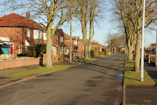
Image: © Richard Croft Taken: 16 Jan 2014
Smart suburban houses on Grange Crescent in Boultham, though in 1916-17 this area was the testing ground for tanks built by William Foster & Co. Engineering Works in Lincoln, a legacy that prevails in the street layout evident in Google satellite mapping https://maps.google.co.uk/maps?q=http:%2F%2Fwww.geograph.org.uk%2Fphoto%2F3815956.kml&ll=53.192382,-0.569884&spn=0.004647,0.013078&t=m&z=17
Images are licensed for reuse under creativecommons.org/licenses/by-sa/2.0
Image Location
Latitude
53.191862
Longitude
-0.570288