Herne Bay Methodist Church, High Street
Introduction
The photograph on this page of Herne Bay Methodist Church, High Street by John Baker as part of the Geograph project.
The Geograph project started in 2005 with the aim of publishing, organising and preserving representative images for every square kilometre of Great Britain, Ireland and the Isle of Man.

There are currently over 7.5m images from over 14,400 individuals and you can help contribute to the project by visiting https://www.geograph.org.uk
Herne Bay Methodist Church, High Street
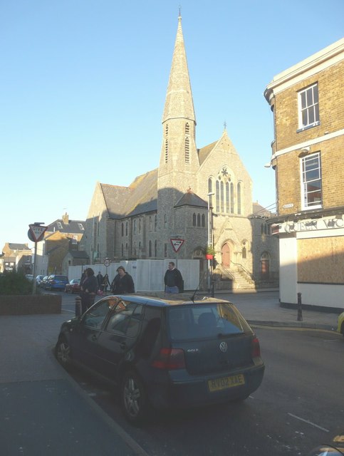
Image: © John Baker Taken: 29 Dec 2013
The church is located on the corner of Beach Street. Planning permission has been granted by Canterbury City Council under application number CA/13/01129 for “exterior works (ramps, steps and balustrades) to form new pedestrian access”.
Images are licensed for reuse under creativecommons.org/licenses/by-sa/2.0
Image Location
Latitude
51.371373
Longitude
1.126522