The Devil's Elbow, Craigavad (2)
Introduction
The photograph on this page of The Devil's Elbow, Craigavad (2) by Albert Bridge as part of the Geograph project.
The Geograph project started in 2005 with the aim of publishing, organising and preserving representative images for every square kilometre of Great Britain, Ireland and the Isle of Man.

There are currently over 7.5m images from over 14,400 individuals and you can help contribute to the project by visiting https://www.geograph.org.uk
The Devil's Elbow, Craigavad (2)
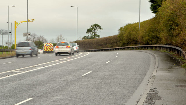
Image: © Albert Bridge Taken: 16 Jan 2014
A bend to the left, approaching from the Bangor direction. The old line (still serving houses) is behind the trees on the right.
Images are licensed for reuse under creativecommons.org/licenses/by-sa/2.0
Image Location
Latitude
54.657939
Longitude
-5.771392