Ashdown House Track Bridge over the Forest Way
Introduction
The photograph on this page of Ashdown House Track Bridge over the Forest Way by Ed of the South as part of the Geograph project.
The Geograph project started in 2005 with the aim of publishing, organising and preserving representative images for every square kilometre of Great Britain, Ireland and the Isle of Man.

There are currently over 7.5m images from over 14,400 individuals and you can help contribute to the project by visiting https://www.geograph.org.uk
Ashdown House Track Bridge over the Forest Way
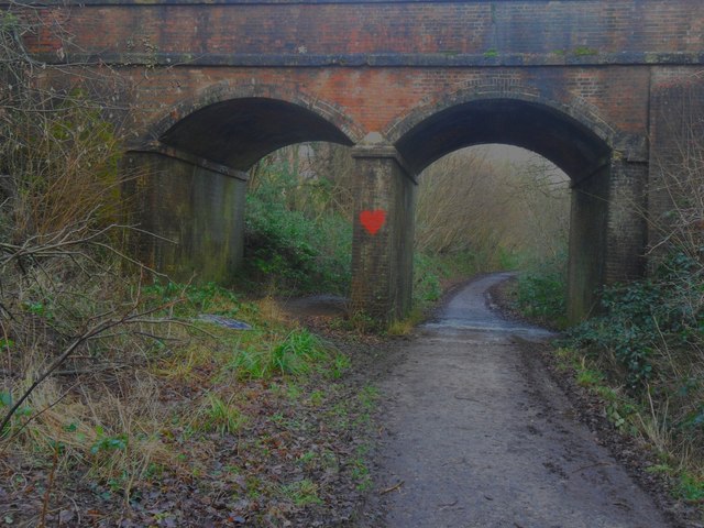
Image: © Ed of the South Taken: 16 Jan 2014
Looking westwards along the Forest Way from outside the village end of Forest Row. The double arched bridge carries a track from the Hartfield Road to Ashdown Farm and the Ashdown House school.
Images are licensed for reuse under creativecommons.org/licenses/by-sa/2.0
Image Location
Latitude
51.093487
Longitude
0.057817