Albert Terrace 1863
Introduction
The photograph on this page of Albert Terrace 1863 by Len Williams as part of the Geograph project.
The Geograph project started in 2005 with the aim of publishing, organising and preserving representative images for every square kilometre of Great Britain, Ireland and the Isle of Man.

There are currently over 7.5m images from over 14,400 individuals and you can help contribute to the project by visiting https://www.geograph.org.uk
Albert Terrace 1863
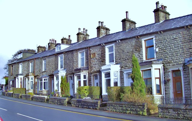
Image: © Len Williams Taken: 11 Jan 2014
This line of terraced houses on the A682, Burnley Road, sports a plaque in the middle, "Albert Terrace 1863"
Images are licensed for reuse under creativecommons.org/licenses/by-sa/2.0
Image Location
Latitude
53.730949
Longitude
-2.287503