Flooded field on the Thames Path near the source of the River Thames near the A433 Cirencester to Tetbury road
Introduction
The photograph on this page of Flooded field on the Thames Path near the source of the River Thames near the A433 Cirencester to Tetbury road by Paul Best as part of the Geograph project.
The Geograph project started in 2005 with the aim of publishing, organising and preserving representative images for every square kilometre of Great Britain, Ireland and the Isle of Man.

There are currently over 7.5m images from over 14,400 individuals and you can help contribute to the project by visiting https://www.geograph.org.uk
Flooded field on the Thames Path near the source of the River Thames near the A433 Cirencester to Tetbury road
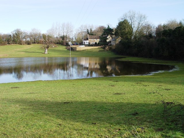
Image: © Paul Best Taken: 14 Jan 2014
The dwellings are next to the redundant Thames and Severn canal where the dry canal goes under the A433
Images are licensed for reuse under creativecommons.org/licenses/by-sa/2.0
Image Location
Latitude
51.689932
Longitude
-2.022954