Bodmin Fire Station
Introduction
The photograph on this page of Bodmin Fire Station by Phil Williams as part of the Geograph project.
The Geograph project started in 2005 with the aim of publishing, organising and preserving representative images for every square kilometre of Great Britain, Ireland and the Isle of Man.

There are currently over 7.5m images from over 14,400 individuals and you can help contribute to the project by visiting https://www.geograph.org.uk
Bodmin Fire Station
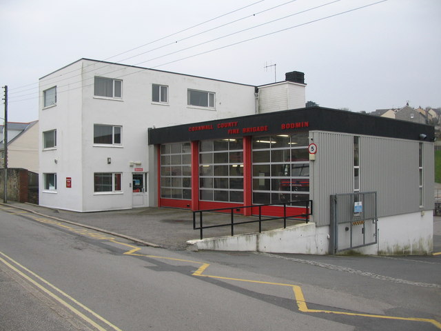
Image: © Phil Williams Taken: 25 Mar 2007
A view looking south across Berrycombe Road towards Bodmin Fire Station. The building has received a new set of doors since the 1991 geograph by Kevin Hale.
Images are licensed for reuse under creativecommons.org/licenses/by-sa/2.0
Image Location


Leaflet Map data © OpenStreetMap
Latitude
50.473948
Longitude
-4.724834