Looking through Fisher Gate to Quay Lane
Introduction
The photograph on this page of Looking through Fisher Gate to Quay Lane by Marathon as part of the Geograph project.
The Geograph project started in 2005 with the aim of publishing, organising and preserving representative images for every square kilometre of Great Britain, Ireland and the Isle of Man.

There are currently over 7.5m images from over 14,400 individuals and you can help contribute to the project by visiting https://www.geograph.org.uk
Looking through Fisher Gate to Quay Lane
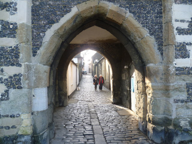
Image: © Marathon Taken: 12 Jan 2014
Fisher Gate is the only one of the town gates of Sandwich to survive. Like much of the town's defences, it dates from around 1384. Beyond is Quay Lane.
Images are licensed for reuse under creativecommons.org/licenses/by-sa/2.0
Image Location
Latitude
51.274901
Longitude
1.34296