Thackeray's Road, Daybrook, Notts.
Introduction
The photograph on this page of Thackeray's Road, Daybrook, Notts. by David Hallam-Jones as part of the Geograph project.
The Geograph project started in 2005 with the aim of publishing, organising and preserving representative images for every square kilometre of Great Britain, Ireland and the Isle of Man.

There are currently over 7.5m images from over 14,400 individuals and you can help contribute to the project by visiting https://www.geograph.org.uk
Thackeray's Road, Daybrook, Notts.
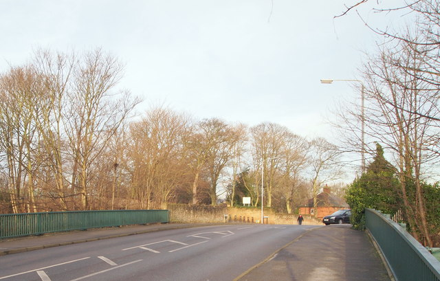
Image: © David Hallam-Jones Taken: 12 Jan 2014
A view of a road bridge that carries Arnot Vale Road across the former Great Northern Railway (Derbyshire Extension) track bed, now a footpath and cycle route through Arnot Hill Park. This bridge marks the changeover point between Thrackeray's Lane and Arnot Hill Road. Behind the photographer's right shoulder is the easterly-most entrance into Arnot Hill Park.
Images are licensed for reuse under creativecommons.org/licenses/by-sa/2.0
Image Location
Latitude
52.995005
Longitude
-1.130314