Path to the Royal Hallamshire Hospital, Glossop Road, Broomhill, Sheffield
Introduction
The photograph on this page of Path to the Royal Hallamshire Hospital, Glossop Road, Broomhill, Sheffield by Terry Robinson as part of the Geograph project.
The Geograph project started in 2005 with the aim of publishing, organising and preserving representative images for every square kilometre of Great Britain, Ireland and the Isle of Man.

There are currently over 7.5m images from over 14,400 individuals and you can help contribute to the project by visiting https://www.geograph.org.uk
Path to the Royal Hallamshire Hospital, Glossop Road, Broomhill, Sheffield
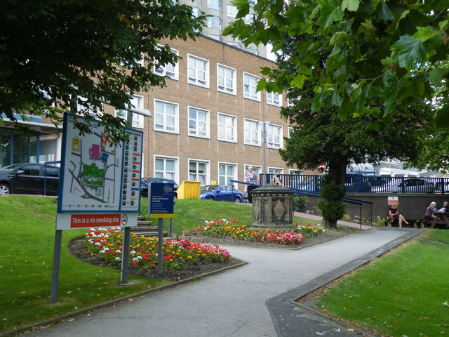
Image: © Terry Robinson Taken: 14 Aug 2012
For full information about the Hospital … see … Image For a closer view of a (similar) site map … see … Image For a closer view of the Memorial … see … Image
Images are licensed for reuse under creativecommons.org/licenses/by-sa/2.0
Image Location
Latitude
53.377427
Longitude
-1.492786