Colman Redland Community Hall
Introduction
The photograph on this page of Colman Redland Community Hall by Ian Capper as part of the Geograph project.
The Geograph project started in 2005 with the aim of publishing, organising and preserving representative images for every square kilometre of Great Britain, Ireland and the Isle of Man.

There are currently over 7.5m images from over 14,400 individuals and you can help contribute to the project by visiting https://www.geograph.org.uk
Colman Redland Community Hall
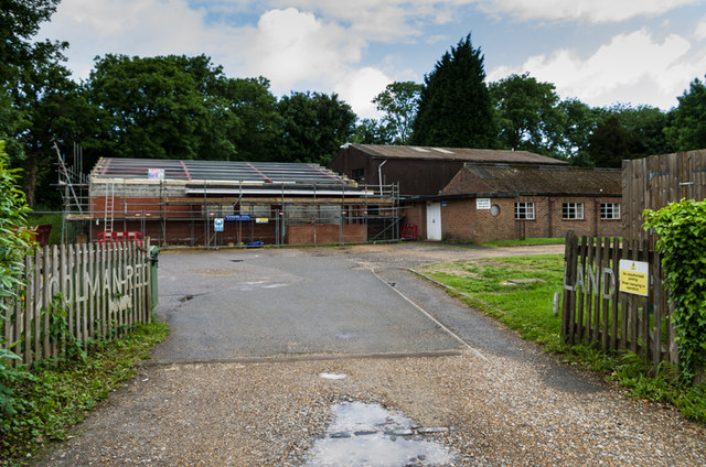
Image: © Ian Capper Taken: 15 Jun 2013
Development under way at what was formerly known as the Colman Redland Centre (see Image).
Images are licensed for reuse under creativecommons.org/licenses/by-sa/2.0
Image Location
Latitude
51.242726
Longitude
-0.193623