Hill End, Plumstead
Introduction
The photograph on this page of Hill End, Plumstead by Stephen Craven as part of the Geograph project.
The Geograph project started in 2005 with the aim of publishing, organising and preserving representative images for every square kilometre of Great Britain, Ireland and the Isle of Man.

There are currently over 7.5m images from over 14,400 individuals and you can help contribute to the project by visiting https://www.geograph.org.uk
Hill End, Plumstead
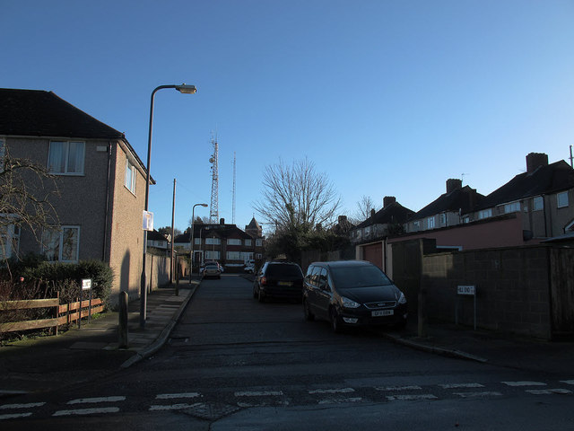
Image: © Stephen Craven Taken: 11 Jan 2014
A short dead-end street off Donaldson Road, running parallel to Shooters Hill. Two of the three transmission masts at the top of the hill, and the water tower, can be seen in the distance.
Images are licensed for reuse under creativecommons.org/licenses/by-sa/2.0
Image Location
Latitude
51.469814
Longitude
0.064771