Wesley Way, Devauden
Introduction
The photograph on this page of Wesley Way, Devauden by Jaggery as part of the Geograph project.
The Geograph project started in 2005 with the aim of publishing, organising and preserving representative images for every square kilometre of Great Britain, Ireland and the Isle of Man.

There are currently over 7.5m images from over 14,400 individuals and you can help contribute to the project by visiting https://www.geograph.org.uk
Wesley Way, Devauden
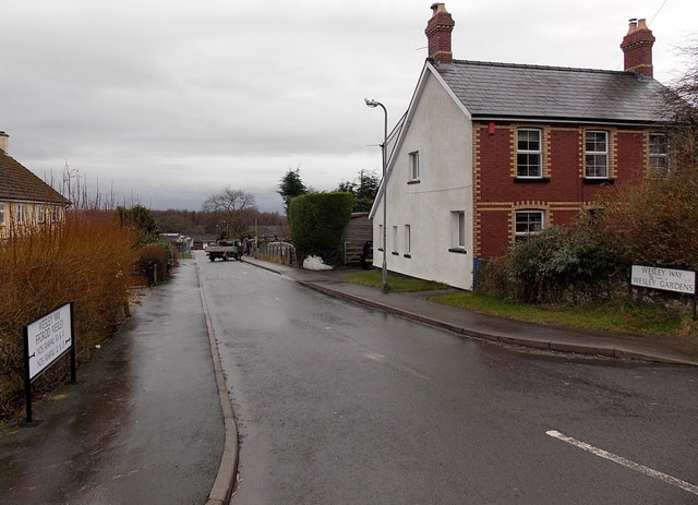
Image: © Jaggery Taken: 13 Jan 2014
Viewed from the B4293, the main road through the village. Wesley Way leads to Wesley Gardens. The Wesley connection with Devauden is explained here. http://www.geograph.org.uk/photo/3813225
Images are licensed for reuse under creativecommons.org/licenses/by-sa/2.0
Image Location
Latitude
51.686735
Longitude
-2.749118