Disused canal alongside Darran Road, Risca
Introduction
The photograph on this page of Disused canal alongside Darran Road, Risca by Jaggery as part of the Geograph project.
The Geograph project started in 2005 with the aim of publishing, organising and preserving representative images for every square kilometre of Great Britain, Ireland and the Isle of Man.

There are currently over 7.5m images from over 14,400 individuals and you can help contribute to the project by visiting https://www.geograph.org.uk
Disused canal alongside Darran Road, Risca
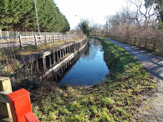
Image: © Jaggery Taken: 11 Jan 2014
Viewed from here. http://www.geograph.org.uk/photo/3813647 This was a working canal from the end of the 18th century until the 1940s, part of the Crumlin Arm of the Monmouthshire & Brecon Canal. The towpath on the right is now a footpath and cycleway.
Images are licensed for reuse under creativecommons.org/licenses/by-sa/2.0
Image Location
Latitude
51.615942
Longitude
-3.105711