Tunnel under the WCML at Bramhall
Introduction
The photograph on this page of Tunnel under the WCML at Bramhall by Christopher Styles as part of the Geograph project.
The Geograph project started in 2005 with the aim of publishing, organising and preserving representative images for every square kilometre of Great Britain, Ireland and the Isle of Man.

There are currently over 7.5m images from over 14,400 individuals and you can help contribute to the project by visiting https://www.geograph.org.uk
Tunnel under the WCML at Bramhall
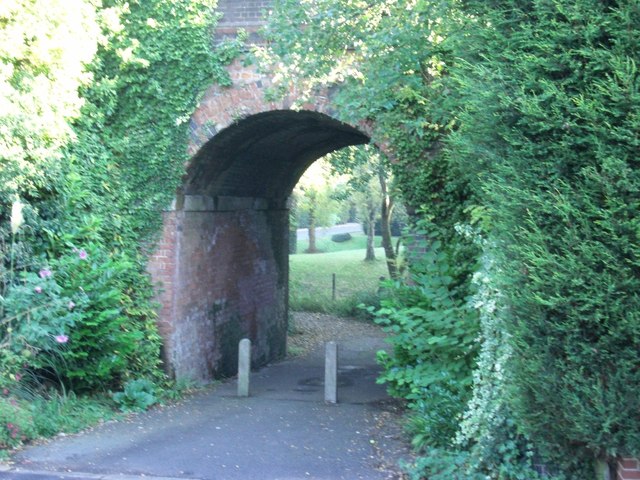
Image: © Christopher Styles Taken: 14 Oct 2012
Brick arched "bridge" carrying the West Coast Main line over the bottom of Hillbrook Road, Bramhall known locally as "the tunnel". The short path leads through onto Robins Lane. It used to be heavily overgrown but was cleared as part of the renewal work on the line for the West Coast "upgrade" in the 2000s.
Images are licensed for reuse under creativecommons.org/licenses/by-sa/2.0
Image Location
Latitude
53.362207
Longitude
-2.166454