Northern boundary of Devauden
Introduction
The photograph on this page of Northern boundary of Devauden by Jaggery as part of the Geograph project.
The Geograph project started in 2005 with the aim of publishing, organising and preserving representative images for every square kilometre of Great Britain, Ireland and the Isle of Man.

There are currently over 7.5m images from over 14,400 individuals and you can help contribute to the project by visiting https://www.geograph.org.uk
Northern boundary of Devauden
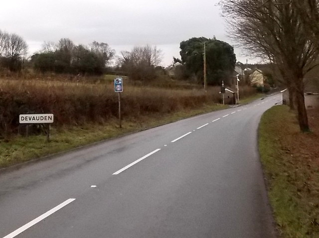
Image: © Jaggery Taken: 13 Jan 2014
The B4293 passes the boundary sign for Devauden, a small village in upland Monmouthshire. The road here is about 250 metres (c820 ft) above sea level.
Images are licensed for reuse under creativecommons.org/licenses/by-sa/2.0
Image Location
Latitude
51.689435
Longitude
-2.748728