Path and steps to the Hempdykes from Sherburn Crescent
Introduction
The photograph on this page of Path and steps to the Hempdykes from Sherburn Crescent by Jonathan Thacker as part of the Geograph project.
The Geograph project started in 2005 with the aim of publishing, organising and preserving representative images for every square kilometre of Great Britain, Ireland and the Isle of Man.

There are currently over 7.5m images from over 14,400 individuals and you can help contribute to the project by visiting https://www.geograph.org.uk
Path and steps to the Hempdykes from Sherburn Crescent
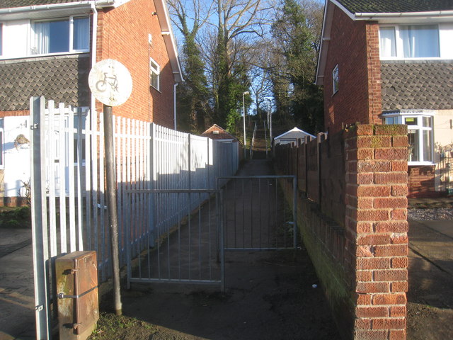
Image: © Jonathan Thacker Taken: 13 Jan 2014
The Hempdykes is an area of grass, shrubs and woodland along the low escarpment above the Trent Valley.
Images are licensed for reuse under creativecommons.org/licenses/by-sa/2.0
Image Location
Latitude
53.595681
Longitude
-0.673192