Lakeside housing development
Introduction
The photograph on this page of Lakeside housing development by Willie Duffin as part of the Geograph project.
The Geograph project started in 2005 with the aim of publishing, organising and preserving representative images for every square kilometre of Great Britain, Ireland and the Isle of Man.

There are currently over 7.5m images from over 14,400 individuals and you can help contribute to the project by visiting https://www.geograph.org.uk
Lakeside housing development
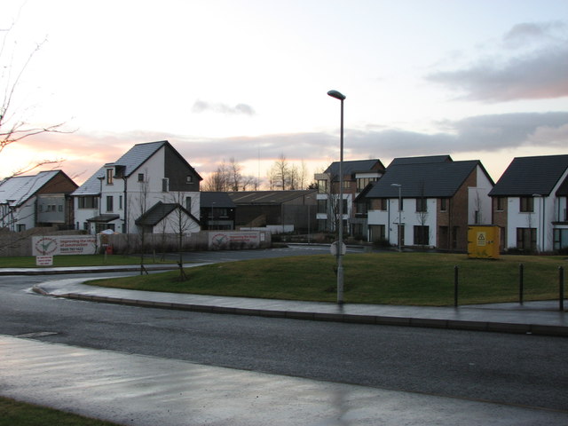
Image: © Willie Duffin Taken: 8 Jan 2014
Built on the site of a former quarry which has now been allowed to flood creating an artificial lake, hence the name.
Images are licensed for reuse under creativecommons.org/licenses/by-sa/2.0
Image Location
Latitude
55.138782
Longitude
-6.658185