Iwerne Minster, A350 looking North
Introduction
The photograph on this page of Iwerne Minster, A350 looking North by John Stephen as part of the Geograph project.
The Geograph project started in 2005 with the aim of publishing, organising and preserving representative images for every square kilometre of Great Britain, Ireland and the Isle of Man.

There are currently over 7.5m images from over 14,400 individuals and you can help contribute to the project by visiting https://www.geograph.org.uk
Iwerne Minster, A350 looking North
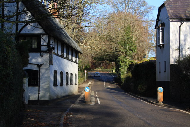
Image: © John Stephen Taken: 29 Dec 2013
Narrow section of main A350 Blandford Road at Iwerne Minster looking north toward Shaftesbury. The war memorial is on the right at Higher Street about opposite the car, whilst Clayesmore School is further on the left hand side.
Images are licensed for reuse under creativecommons.org/licenses/by-sa/2.0
Image Location
Latitude
50.929252
Longitude
-2.192896