Darran Road west of Lime Kiln level crossing, Risca
Introduction
The photograph on this page of Darran Road west of Lime Kiln level crossing, Risca by Jaggery as part of the Geograph project.
The Geograph project started in 2005 with the aim of publishing, organising and preserving representative images for every square kilometre of Great Britain, Ireland and the Isle of Man.

There are currently over 7.5m images from over 14,400 individuals and you can help contribute to the project by visiting https://www.geograph.org.uk
Darran Road west of Lime Kiln level crossing, Risca
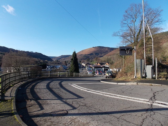
Image: © Jaggery Taken: 11 Jan 2014
Looking towards the B4591 from the edge of this http://www.geograph.org.uk/photo/1759011 level crossing.
Images are licensed for reuse under creativecommons.org/licenses/by-sa/2.0
Image Location
Latitude
51.616455
Longitude
-3.108612