Footpath marker along Gartee Road
Introduction
The photograph on this page of Footpath marker along Gartee Road by Mat Fascione as part of the Geograph project.
The Geograph project started in 2005 with the aim of publishing, organising and preserving representative images for every square kilometre of Great Britain, Ireland and the Isle of Man.

There are currently over 7.5m images from over 14,400 individuals and you can help contribute to the project by visiting https://www.geograph.org.uk
Footpath marker along Gartee Road
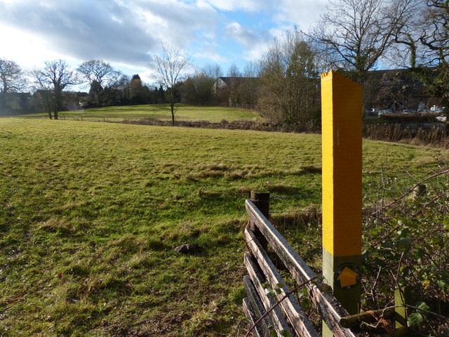
Image: © Mat Fascione Taken: 11 Jan 2014
The footpath runs for about 600 metres between Gartree Road and Manor Road. On the right is the Spire Leicester Hospital.
Images are licensed for reuse under creativecommons.org/licenses/by-sa/2.0
Image Location
Latitude
52.613527
Longitude
-1.077041