Sustrans Bridleway under new A1(M)
Introduction
The photograph on this page of Sustrans Bridleway under new A1(M) by Matthew Hatton as part of the Geograph project.
The Geograph project started in 2005 with the aim of publishing, organising and preserving representative images for every square kilometre of Great Britain, Ireland and the Isle of Man.

There are currently over 7.5m images from over 14,400 individuals and you can help contribute to the project by visiting https://www.geograph.org.uk
Sustrans Bridleway under new A1(M)
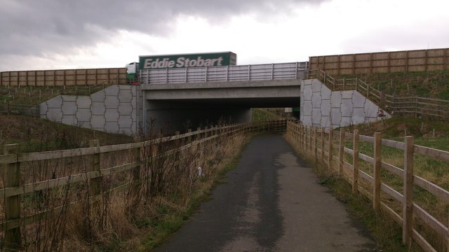
Image: © Matthew Hatton Taken: 10 Jan 2014
Eddie Stobbart Articulated Lorry crosses Bedale Beck under which the rerouted bridleway passes.
Images are licensed for reuse under creativecommons.org/licenses/by-sa/2.0
Image Location
Latitude
54.297523
Longitude
-1.560219