The Brentford Towers
Introduction
The photograph on this page of The Brentford Towers by Stefan Czapski as part of the Geograph project.
The Geograph project started in 2005 with the aim of publishing, organising and preserving representative images for every square kilometre of Great Britain, Ireland and the Isle of Man.

There are currently over 7.5m images from over 14,400 individuals and you can help contribute to the project by visiting https://www.geograph.org.uk
The Brentford Towers
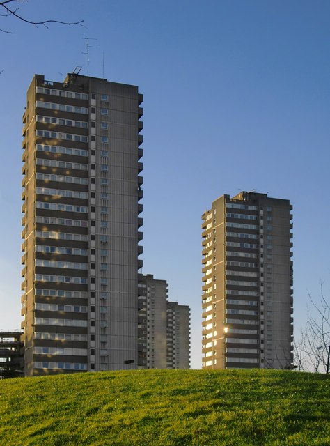
Image: © Stefan Czapski Taken: 11 Jan 2014
Seen from just off Green Dragon Lane, from a point north of the steam museum. There are six point-blocks in all - nearest the camera is Wicksteed House.
Images are licensed for reuse under creativecommons.org/licenses/by-sa/2.0
Image Location
Latitude
51.489135
Longitude
-0.292163